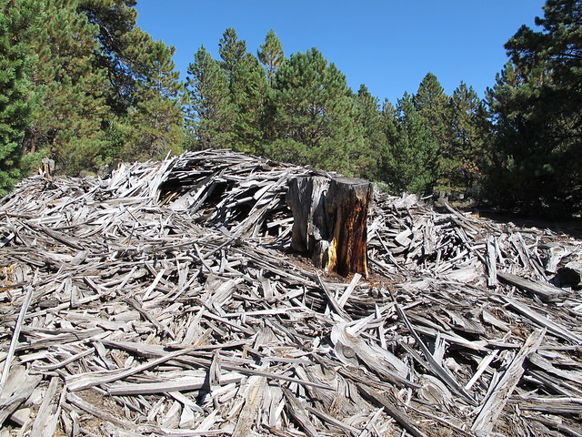
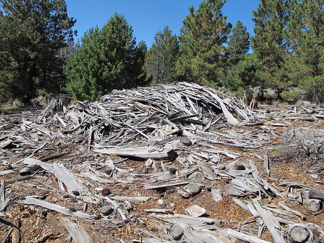
I rode the Rokon onto Pitchpine ridge on Sunday, and finally found the structure I saw on Google earth. It’s a large wood pile of boards left over from the production of large timbers:
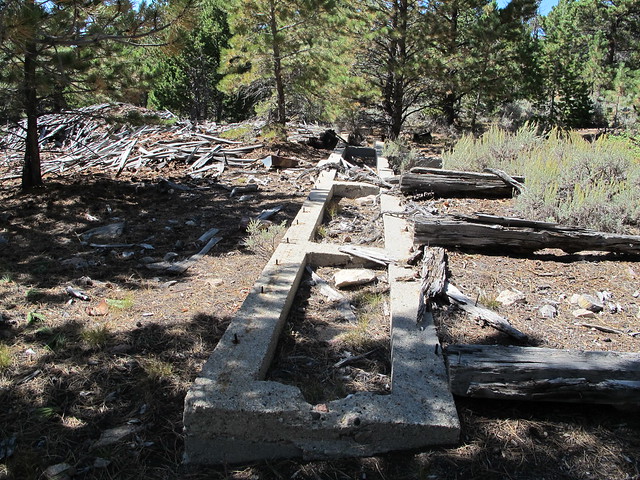
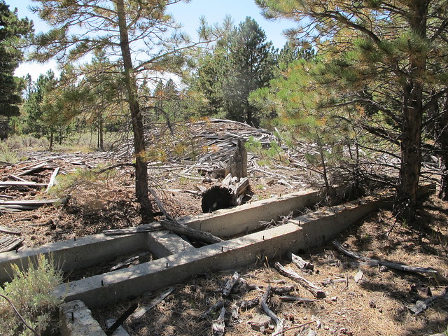
There’s a foundation, I presume for an engine or saw:
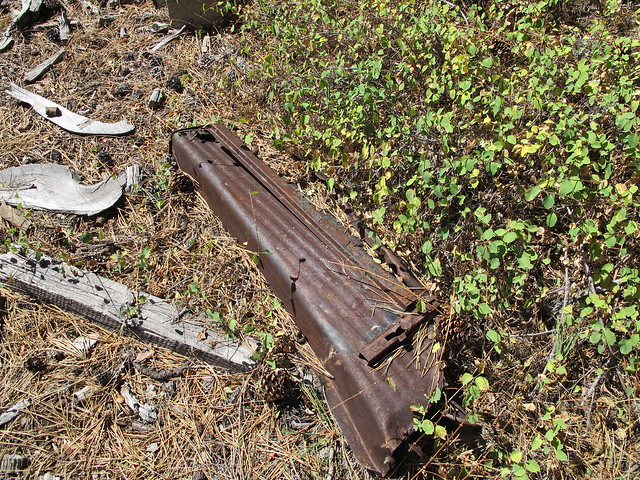
And lots of old junk laying around- a fuel tank for a car, and an old running board:
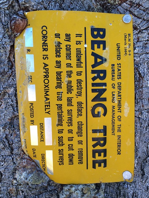
I left the area, and took another road out. Next to the road, I came upon a tree with a “Bearing Tree” placard:
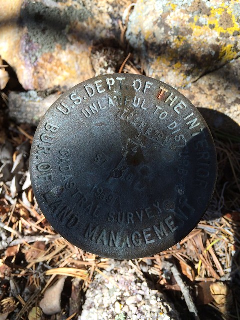
Under the tree was a brass cap:
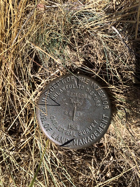
I took the road along a fence separating BLM from private land, and came to a place where two fences met-and found yet another brass cap:
And then rode the bike up the south face of Muddy mountain, coming out to the road just above the dogleg in the road. The bike worked well, although my back was a bit sore from the ride. It was more than worth it.
Now if I can just find the other structure that is on Google Earth. But that’s for another weekend.
